Origin- Established as a Partial Reserve for a limited period until 12/31/1959, by Legislative Diploma of 06/12/1957.
Classification- Partial Reserve, IV, since 1960.
Location- In the extreme south of the country, close to the coastal city of Namibe.
Area- Occupies 4,450 km². It lost 290 km² to the city of Namibe (formerly Moçâmedes) on 23-07-1973.
Geographic Limits- 15 09' to 19 57' South Latitude and 20 24' to 21 30' East Longitude.
Natural Limits- Limited to the North by the Bero and Cubal rivers to Muol, to the East by the Atchinque and Curoca rivers. To the west along the coastline between the mouth of the Bero River and the mouth of the Curoca River.
Description- It occupies a desert area with large sand dunes, which ends in mountainous cliffs.
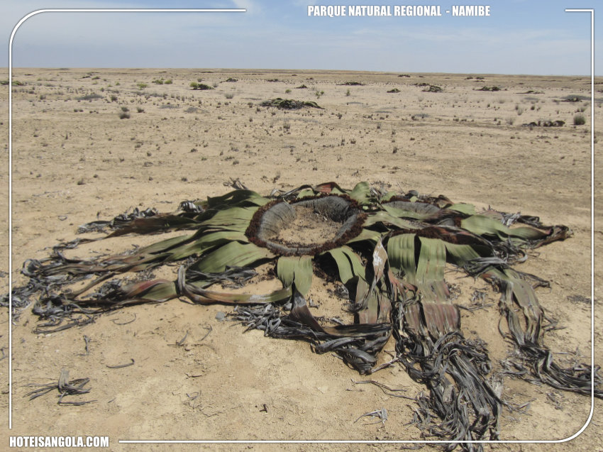
The average annual temperature is 20.6° C but the scarce rainfall only allows adapted plants to survive to the desert, like welvitschia mirabilis.
Although the environment is not conducive to the maintenance of fauna, elephants, olongos (Strepsiceros strepsiceros - kudu), black rhinos and mountain zebras are observed.
Visitors - Receives visitors since 2002.

 English
 Português